
Flood Mitigation
Welcome to the City of Douglas Flood Mitigation page.
The Flood Mitigation page provides information about City of Douglas flood studies, upcoming flood mitigation projects, and information and resources. The City of Douglas encourages property owners to know their flood risk. Here, you will find resources to help mitigate your property's exposure to flooding. The City has partnered with various agencies to assist with flood mitigation studies. This page provides various studies and upcoming projects to improve stormwater drainage in the City of Douglas.
The City partnered with Cochise County Flood Control District and consultants JE Fuller to develop a Development Concept Report study of the 8th and Washington Drainage Channel. The study entails:
1. Project Management: Meetings with City Staff, invoicing, budget tracking, coordination with the City project manager, and sub-consultants.
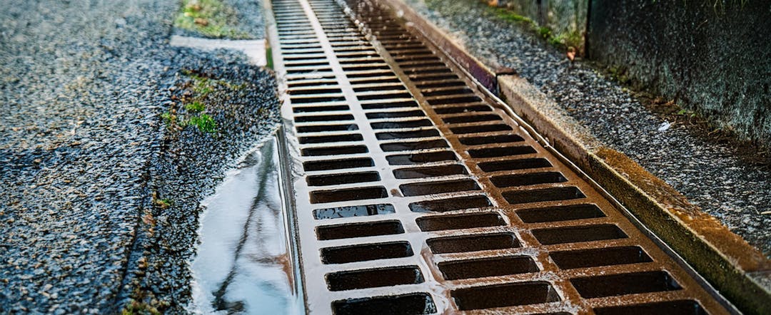
2. Land Survey: Topography, property lines, utilities, and planimetrics within the project area are shown on the "Location Map" (prepared by the subconsultant), which is available to view in the “Documents” section of this page.
3. Public Involvement: Conduct one (1) public meeting to present the recommended alternative to the project stakeholders.
4. Utility Investigations: Contact utility companies/agencies and collect available basemaps within the Project Area.
5. Hydrology & Hydraulics Analyses (H&H, Existing Conditions): Revise Phase 1 modeling to incorporate the detailed topography obtained from the Land Survey, and extend the downstream limit of the model to the confluence of the Washington Channel and Rose Avenue Channel based on the 2021 USGS/Cochise County DEM data.
6. Analysis of Existing Flood Gates: Qualitative evaluation of the flood gates present along the western curb line of North Washington Avenue. Recommend whether the gates and associated curbing should be repaired, removed, or reconfigured in the interim period.
7. Analysis of Existing Culvert: Qualitative evaluation of the multi-barrel culvert present along the channel south of the East 5th Street.
8. Alternatives Analysis and Selection: Qualitative evaluation of the alternatives presented in the November 2022 Report, including modifications and/or other potential alternatives developed or presented during this Phase 2.
9. Hydraulic Analyses, Miscellaneous: Hydraulic analyses of selected individual components of alternatives of interest.
10. Hydrologic and Hydraulic (H&H, Proposed Conditions): Modeling simulations of proposed with [1] project conditions to support concept project description development for the one (1) recommended alternative. Includes analyses of potential adverse impacts of the recommended alternative.
11. Design Concept Report (DCR): Prepare a DCR of one (1) selected alternative.
(The project is expected to take 6 months and finish around September 15, 2025.)
*Please note that our project pages are continually evolving. Be sure to check back regularly for the latest updates.
Who's Listening
-

Phone (520)-417-7410 Email ana.urquijo@douglasaz.gov -

Phone (520)-417-7410 Email luis.pedroza@douglasaz.gov -

Phone (520)-417-7329 Email karl.rockwell@douglasaz.gov

Documents
-
 Location Map (1.29 MB) (png)
-
Douglas_8th_Washington_Floodplain_Evaluation_2022.pdf (4.2 MB) (pdf)
-
Weather Event Press Release 2021.pdf (80.6 KB) (pdf)
-
September 2019 Resident Flooding Follow Up Report 2020.pdf (70.9 KB) (pdf)
-
COD Stormwater Program Plan 2018.PDF (10.2 MB) (PDF)
-
Drainage Study of Coronado Hills Subdivision 2017.pdf (22 MB) (pdf)
-
Floodplain Management Ord 16-1063 2016.pdf (223 KB) (pdf)
-
Douglas Agua_Prieta_Watershed Study_June 2004.pdf (22.4 MB) (pdf)
-
Douglas Floodplain Management Plan Ord 08-927 2008 .pdf (1.03 MB) (pdf)
-
Drainage Master Plan.2001.pdf (2.79 MB) (pdf)
-
Planning_Assistance_Study-AirportRdChannel_Douglas Black and Veatch 1999.pdf (2.53 MB) (pdf)